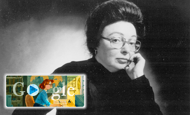
Through Google Doodle, Google constantly reminds us of significant occasions and birthdays of people. One of those days also occurs today. Marie Tharp was an American geologist and oceanographic cartographer, and Google is honoring her life. She has contributed to the validation of the continental drift hypothesis, and Google has created a Google Doodle to recognize her contributions.
The Google Doodle includes a biography of Tharp and interactive puzzles that let people experience her work firsthand.
You will witness a unique animated Doodle with an interactive tour of Tharp’s accomplishments in ocean charting. The Library of Congress recognized Marie Tharp as one of the finest cartographers of the 20th century on November 21, 1998, when she co-published the first map of the world’s ocean floors. She was born on July 19, 1920, in the American city of Ypsilanti, in the state of Michigan.
In today’s google doodle, Caitlyn Larsen, Rebecca Nesel, and Dr. Tiara Moore tell the tale of Marie Tharp. These three inspirational women are carrying on Tharp’s legacy and advancing the fields of ocean research and geology, which have historically been controlled by men.
Even though he worked for the U.S. Department of Agriculture, Marie Tharp’s father introduced her to mapmaking. For her master’s degree, Tharp chose to study petroleum geology at the University of Michigan, which was impressive given how few women were employed in the sciences at the time. She relocated to New York City in 1948 and became the institution’s first female employee at the Lamont Geological Observatory, where she first met geologist Bruce Heezen.

With the aid of ocean-depth information acquired by Heezen in the Atlantic Ocean, Tharp produced maps of the ocean floors. In 1995, Tharp gave her complete collection of maps to the Library of Congress. She was acknowledged as one of the 20th century’s most significant cartographers by the Library of Congress at the 100th-anniversary celebration of its Geography and Map Division. She received the inaugural Lamont-Doherty Heritage Award in 2001 from the same observatory where she began her career.
According to Google, Heezen collected information on water depths in the Atlantic Ocean, which Tharp utilized to produce maps of the enigmatic ocean floor. She learned about the Mid-Atlantic Ridge thanks to fresh information from echo sounders, a type of sonar used to measure sea depth. She informed Heezen of her results, but he notoriously dismissed them as “girl chatter.”
Heezen, however, was forced to face the truth when they contrasted these V-shaped rifts with earthquake epicenter maps. The seabed was unquestionably expanding, supporting plate tectonics and continental drift as real phenomena. The first map of the North Atlantic ocean floor was co-published by Tharp and Heezen in 1957. Twenty years later, National Geographic released “The Globe Ocean Floor,” the first world map depicting the whole ocean floor. It was created by Tharp and Heezen.


